
Tap anywhere on the water
A card shows Depth, Wind, Tide, Current, Air and Rain for that spot. With GPS on, it also says how far away it is in a straight line. On land, it leaves out tide and current.
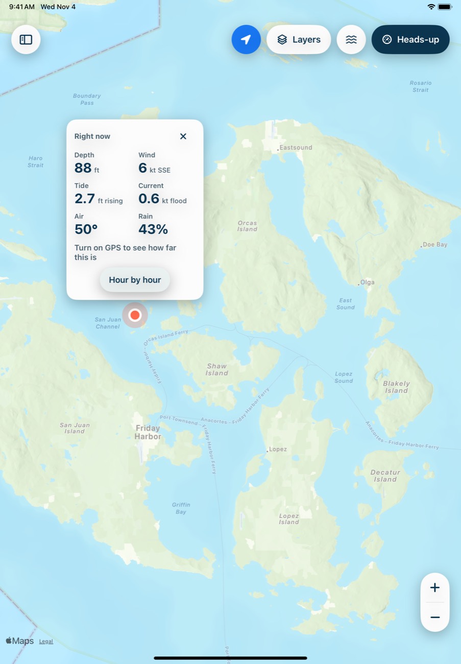
Tap the X to close it.
See the hours ahead
Tap Hour by hour for the tide curve, wind, current, rain and air temperature across the next 24 hours.
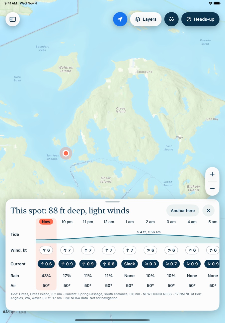
The line at the bottom says which stations the numbers come from and how far away they are. Check it, because a far-off station may not match your spot.
Look at a later time
Tap an hour, or any column in the rows, and the markers across the map move to that time. Waves are the exception: they always show the latest reading. To come back, tap Now.
Without a spot open, tap an hour on the tide chart, then Back to now to return.
What you can do from here
- Anchor here: opens anchor math for this spot.
- N posts here: appears when there's a place with posts within 0.75 nm.
- Drop a mark: appears when you've been within about 300 yards of this spot, on this trip or a saved one.
Common problems
It says "This spot is on land."
NOAA's elevation model reads that spot as land. Close to shore, it can be wrong in either direction.
Tide or current says "--".
It's either still loading or there's no station close enough. Tides need a station within 15 nm, and currents within 10 nm.
Next: Tides and currents