
Draw it in two taps
- Open the panel and tap Draw a route.
- Tap the map where you're starting, or tap Start here to use your position.
- Tap where you're going.
It finds the shortest way between them, keeping about 100 yards off land, water under your minimum depth, and NOAA's charted rocks, wrecks and obstructions where it can. This can take up to about 15 seconds.
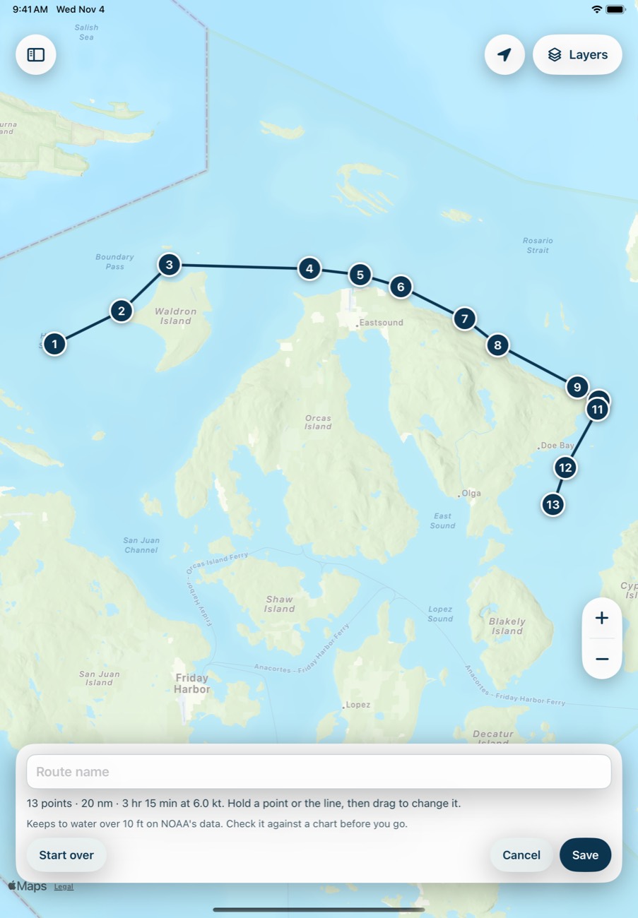
Go your own way
Rather go south of the island? Hold a point, or hold anywhere on the line, then drag. Nothing moves until you drag. If a leg now crosses land, shallow water or a charted hazard, the app tells you which one.
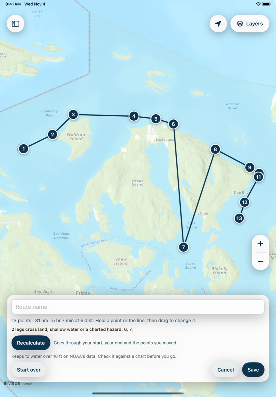
Then tap Recalculate. It finds the shortest water route through your start, your end and the points you moved, and replaces the rest.

The points you moved stay fixed if you recalculate again. Tap a point to see its conditions or to delete it, which also releases it. Start over clears everything, and Cancel drops your changes.
Know when you'll get there
Name the route and tap Save. Then choose when you're leaving, and the arrival time updates at your cruising speed from Settings. Tap Legs for the distance, direction, time and arrival of every leg.

Times assume a steady speed, with no current or wind.
Follow it
Tap Start. The map follows your boat, the completed part turns green, and each point you pass gets a check mark. The bar shows the next point, what's left and your arrival time, using your GPS speed once you're moving over 1.5 knots.

If you're more than 0.25 nm off the route, the bar says so, and progress waits until you're back on it. Tap Stop when you're done. Following doesn't record a trip, so record one if you want the track.
Find, change or delete a route
Your routes are under You, then Routes. Open one to show it on the map, edit it or send it. Delete route removes it, and fleets you shared it with lose it too.
Send it to your fleet
Routes are private until you send one. Open it and tap Send to fleet. See Sail with a fleet.
Common problems
It says it couldn't find a clear way through.
A start, end or moved point is probably inland or cut off by shallow water. Move it onto open water, or check your minimum depth. Your route stays as it was until a new one is found.
It says some charted hazards didn't load.
NOAA's chart service didn't answer in time, so the route may pass close to a hazard. Try again, and check it against a chart.
It says small islands can be missed.
On long routes the detail is coarser. Plan the route in shorter stretches, or check it closely against a chart.
The route isn't following my Canadian chart.
Outside US waters, it checks depth only. It doesn't know about hazards there.
Next: Anchor math